|
| *****SWAAG_ID***** | 488 |
| Date Entered | 02/04/2012 |
| Updated on | 02/04/2012 |
| Recorded by | Tim Laurie |
| Category | Settlement |
| Record Type | Archaeology |
| SWAAG Site | Whitaside |
| Site Access | Public Footpath |
| Record Date | 30/03/2012 |
| Location | Whitaside pastures |
| Civil Parish | Grinton |
| Brit. National Grid | SD 99176 97104 |
| Altitude | 388m |
| Geology | Sandstone over Middle Limestone |
| Record Name | Two conjoined rectangular buildings and associated field system |
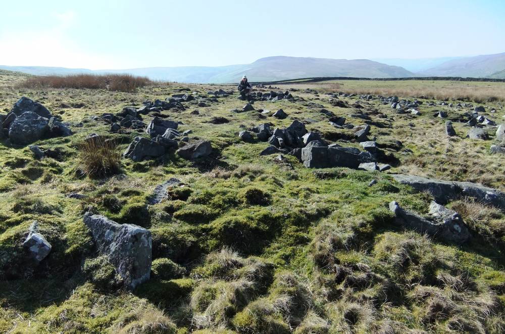
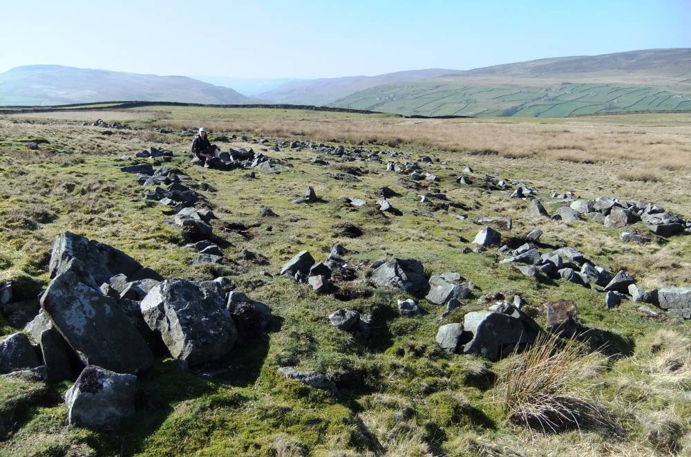
| Record Description | Rectangular structures best interpreted as two conjoined rectangular buildings with associated field boundary system which extends westward into the adjoining allotment and southward over the open moor to rise to an elevation of 470m.
This very extensive field system has not yet been surveyed. |
| Image 1 ID | 2565 Click image to enlarge |
| Image 1 Description | The rectangular structures. | 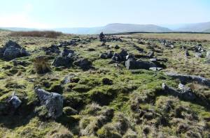 |
| Image 2 ID | 2566 Click image to enlarge |
| Image 2 Description | |  |
| Image 3 ID | 2567 Click image to enlarge |
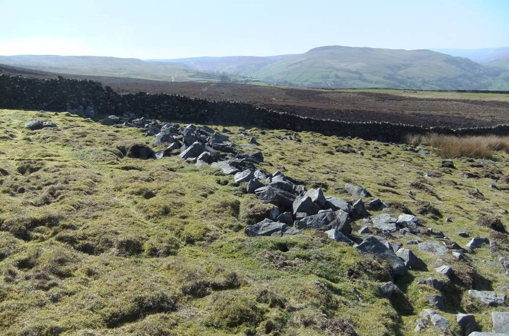
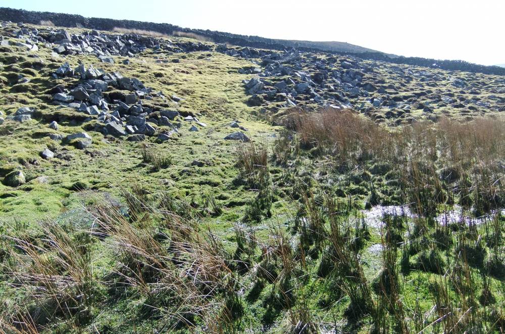
| Image 3 Description | Field boundary approaches and underlies the allotment wall. |  |
| Image 4 ID | 2568 Click image to enlarge |
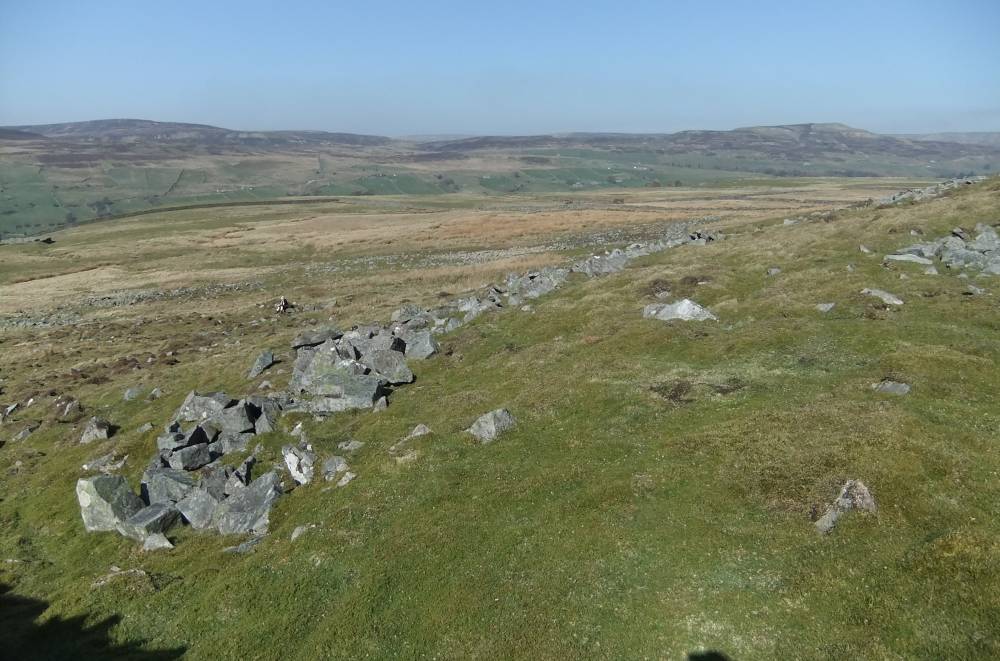
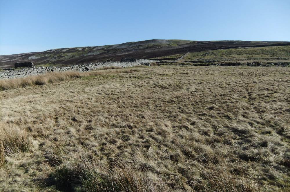
| Image 4 Description | Field boundary continues beyond wall into heather. | 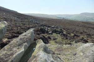 |
| Image 5 ID | 2569 Click image to enlarge |
| Image 5 Description | Field clearance bank | 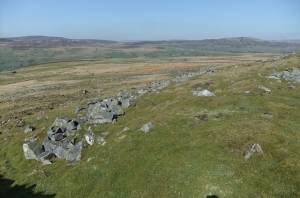 |
| Image 6 ID | 2570 Click image to enlarge |
| Image 6 Description | Field clearance bank. | 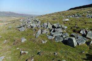 |
| Image 7 ID | 2571 Click image to enlarge |
| Image 7 Description | Small enclosure on steep hill slope | 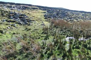 |
| Image 8 ID | 2572 Click image to enlarge |
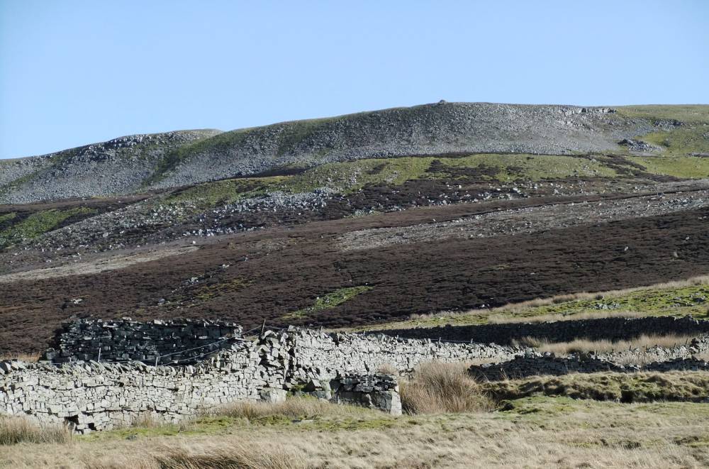
| Image 8 Description | Field system extends on to the high moorland. | 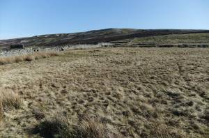 |
| Image 9 ID | 2573 Click image to enlarge |
| Image 9 Description | One boundary reaches an elevation of 470m | 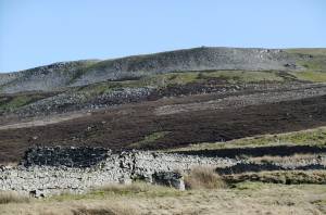 |